Skip to content
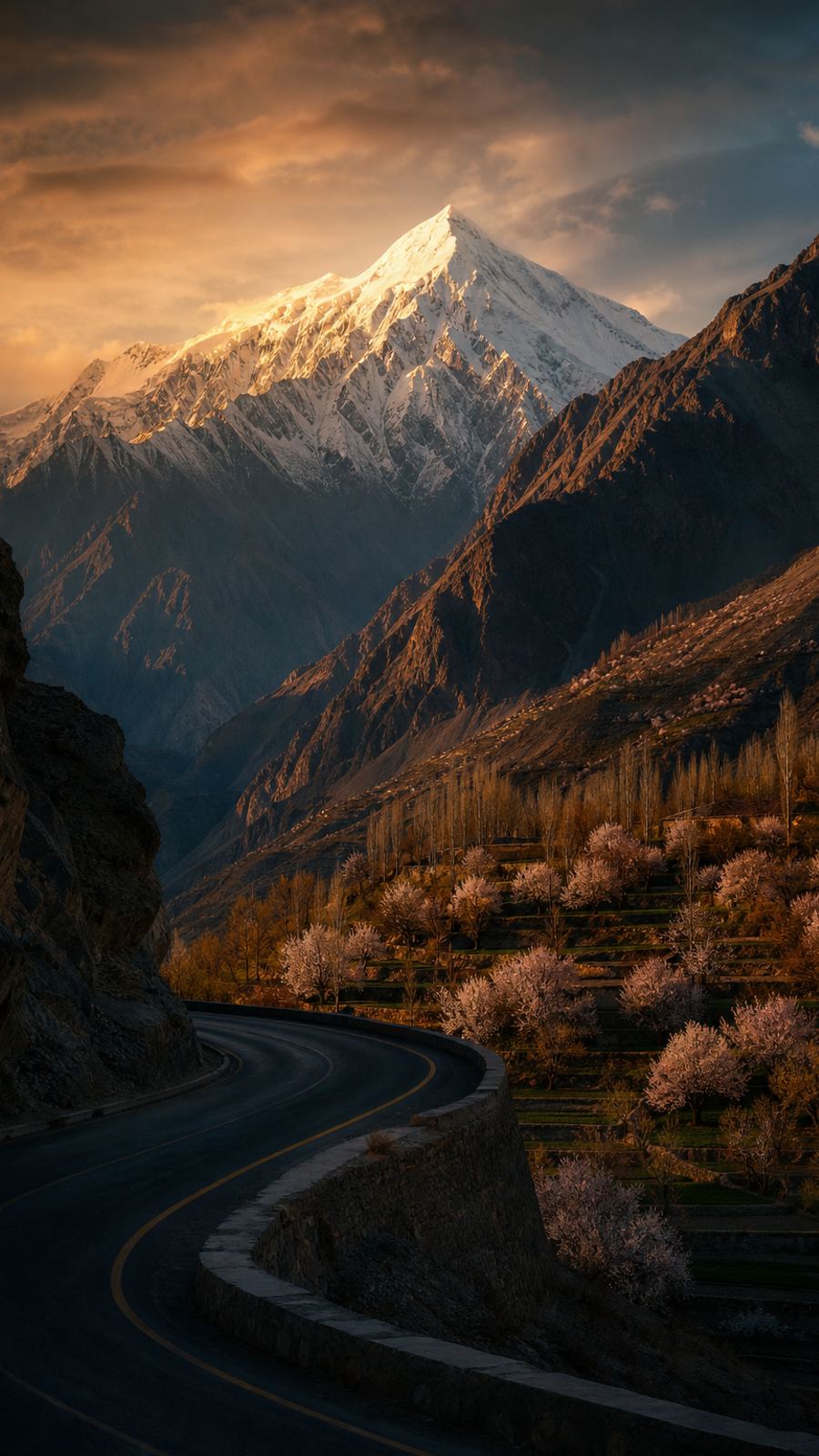
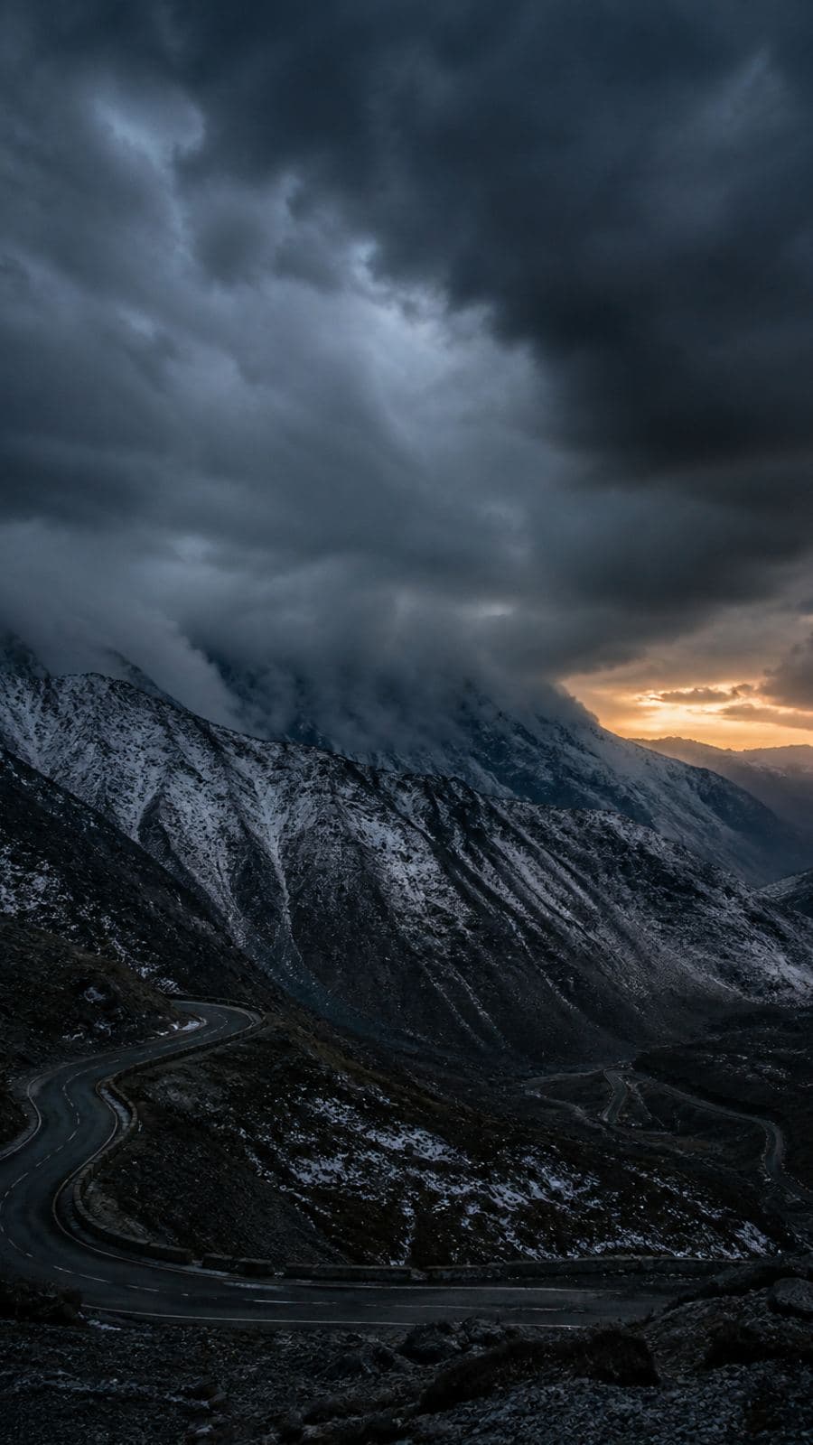
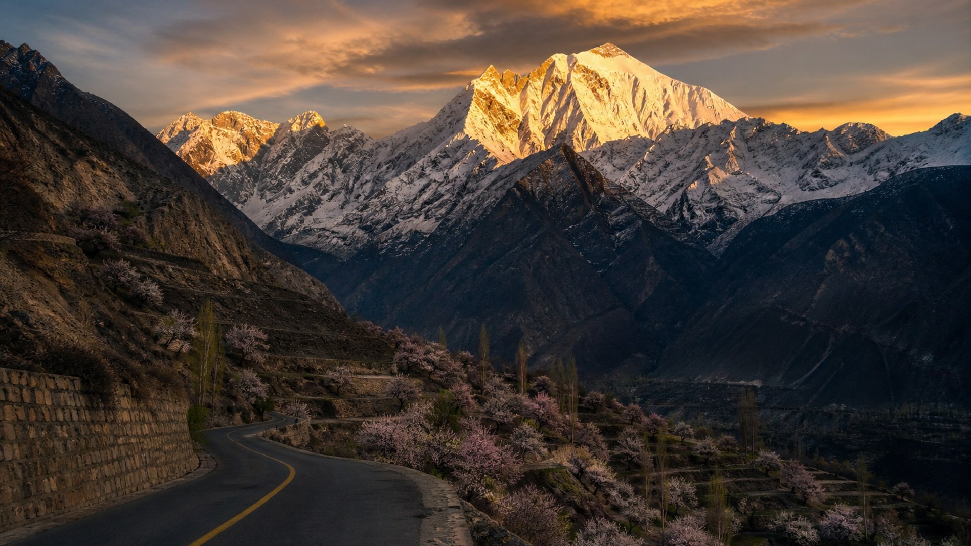
Mountain road through the Hunza valley at golden hour

Now on Google Play · Android

RidePakistanlikeyou'vebeenherebefore.

Rider-verified stops, mountain routes, and live alerts from whoever's ahead of you. Wild Nomad is the map Pakistan's roads never had.

Get it on Google Play

Free on Android. iPhone follows.

93 stops the big maps don't have · 12 passes · Works offline

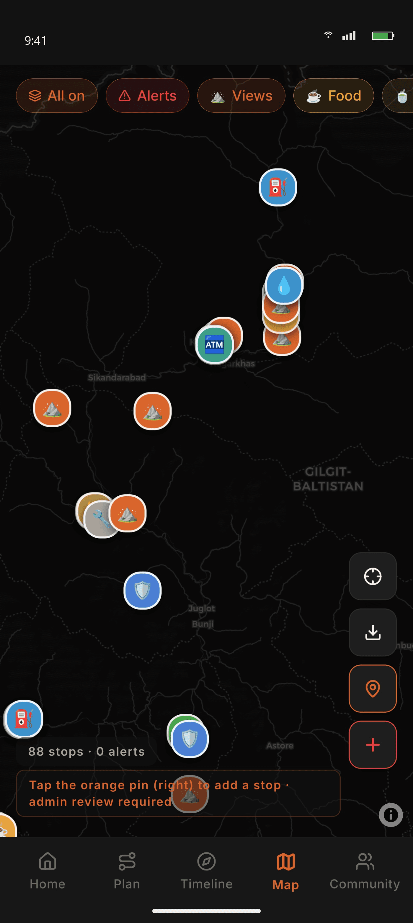
Wild Nomad map showing rider-verified stops in northern Pakistan

Already in the planner

Pick the ride you were already planning.

Nine hand-written trips, with days and season. The Hunza run is mapped in full just below.

7 daysMay–September

Karakoram Highway to Hunza

Hazara motorway, the Indus gorge, then Hunza and the Khunjerab border.

3 daysMay–September

Kaghan valley weekender

A short run up the Kunhar, with Babusar Top as the payoff.
8 daysJuly–September

Skardu and Deosai

Cold desert, the Deosai plateau, and the road on to Khaplu.

5 daysApril–October

Swat, Kalam and Kumrat

Green valleys and deodar forest — the short trip that is not Kaghan.

4 daysMay–October

Neelum and Arang Kel

The river road, ending with the climb to Arang Kel.

5 daysNovember–March

Makran coastal highway

Desert cliffs and empty tarmac beside the Arabian Sea, out to Gwadar.

2 daysAll year

Galiyat overnighter

Pine forest and switchbacks — the easiest mountain trip from the capital.

5 daysJune–September

Fairy Meadows

Ride to Raikot, then jeep and hike under Nanga Parbat.

7 daysJune–September

Chitral and Shandur

Lowari into Chitral, the Kalash valleys, then Shandur.

One route, mapped

Islamabad → Hunza. Every stop that matters.

Five legs, about 640 kilometres. Each distance is that stretch of road. All of it is already in the app.

Elevation along the ride

Islamabad · 540 mBabusar · 4,173 mKarimabad · 2,500 m
01
LEG 01155 km

Islamabad → Mansehra

  • Total Fuel Station, Mansehra
  • Mansehra Tyre & Tube
02
LEG 02125 km

Mansehra → Naran

  • THQ Hospital, Balakot
  • Kaghan Town — trout and paratha
  • Shell Naran — last proper pump before Babusar
  • Naran Bazaar
03
LEG 03115 km

Naran → Chilas via Babusar

  • Babusar Top chai stall — 4,173 m
  • PSO Chilas — cash preferred
  • Chilas Bazaar
  • Babusar is summer-only. Daylight only.
04
LEG 04135 km

Chilas → Gilgit

  • Attock Petroleum, Gilgit
  • Jutial Bike Mechanic
  • DHQ Gilgit — trauma care and oxygen
05
LEG 05110 km

Gilgit → Karimabad

  • Hard Rock Hunza
  • Café de Hunza
  • Sost — last reliable fuel before Khunjerab, past Karimabad

Map, plan, ride, then the people ahead of you.

Map

Stops the big maps skip.

Fuel, dhabas, mechanics, hospitals and viewpoints, pinned by riders and checked before they go live.

Wild Nomad map of northern Pakistan

The morning you leave

Four lines before the engine starts.

Home already reads the pass, the alerts on your route, and whether that corridor is on the phone.
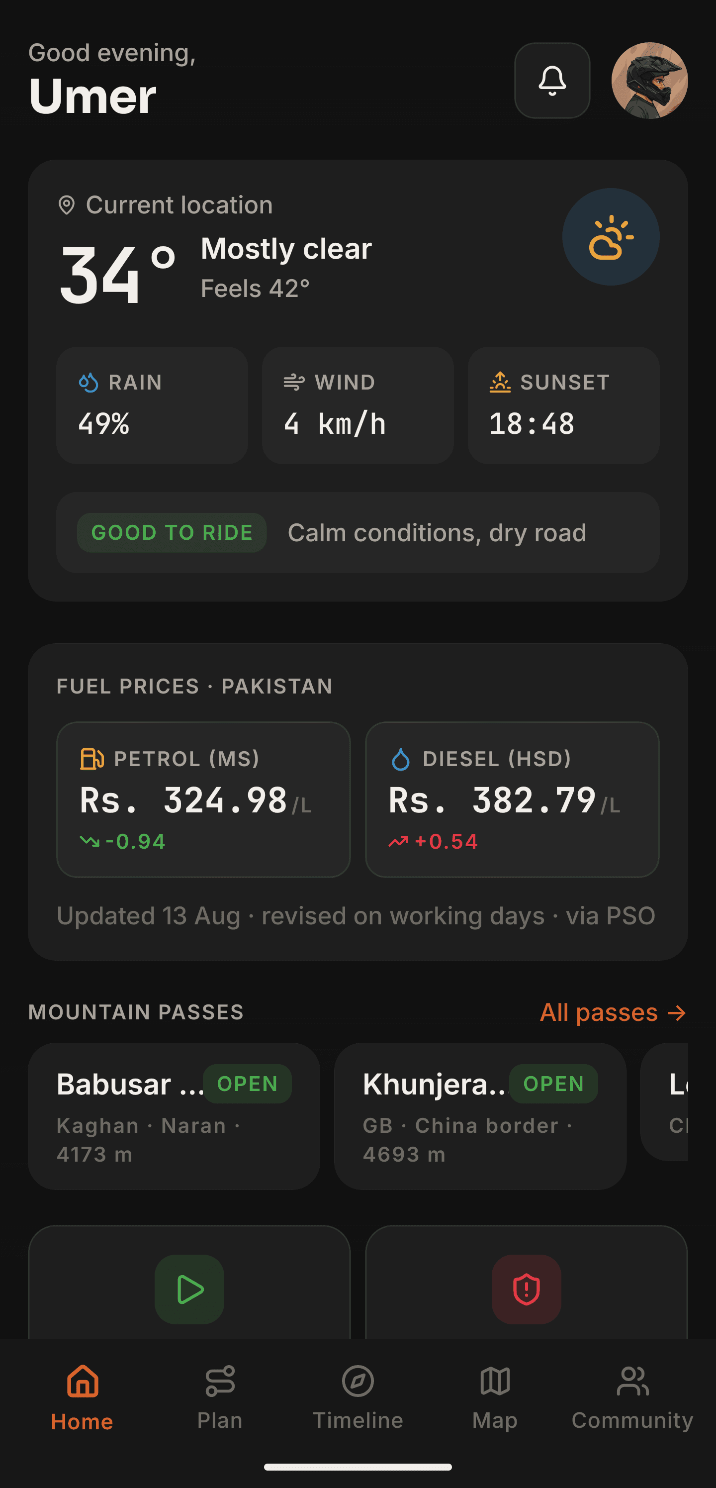
  • Babusar is seasonal — check before you leave.
  • Landslide reported near the Naran road.
  • Hunza & Skardu streets are not on this phone yet.
  • Petrol is on the home screen, so the fuel estimate is a real number.
  • BabusarSeasonal
  • KhunjerabOpen
  • LowariOpen
  • ShandurSeasonal
  • DeosaiSeasonal
  • ShanglaOpen
Home screen with weather, fuel prices and mountain pass status
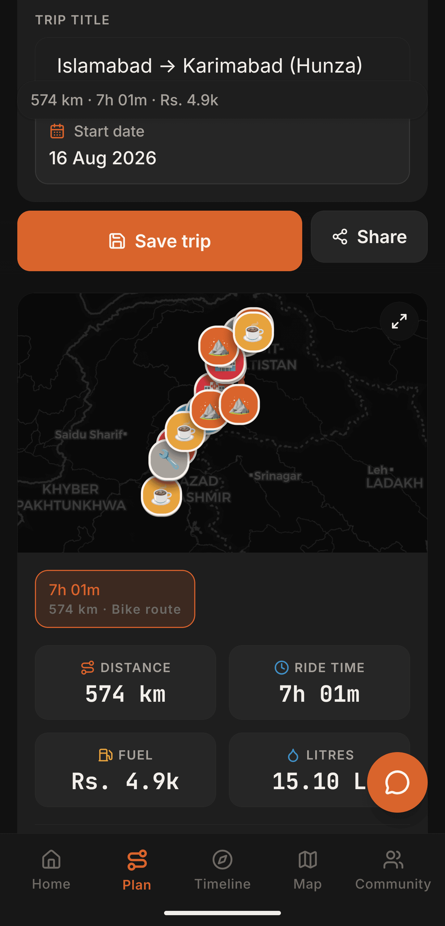
Saved plan from Islamabad toward the north

One trip, shared

The plan leaves the WhatsApp group.

The route, the packing list, who paid, and a live link — on the trip, not across three chats.

  • Spare tube, levers and a pump
  • Rain shell — Khunjerab can be near freezing in August
  • Cash. ATMs above Gilgit are unreliable
  • Printed CNIC copies for the check posts

Fuel

You paid

Rs 4,200

Ali owes

His share of the fuel

Rs 1,400

Sara owes

Her share of the fuel

Rs 1,400

Invite the group on WhatsApp. The live link opens in a browser — no account required to watch.

After you get home

The rides stay on the phone.

Timeline keeps every planned trip and every recorded ride — kilometres, photos, and the line you actually rode.

KKH to Hunza

640 km · 7 days

Makran coast

Karachi → Gwadar · 5 days

Galiyat overnight

Nathia Gali · 2 days

The ride you already know

You've had this ride.

Somewhere past Mansehra the questions start. Wild Nomad is the answer that stays on the bike.

Landslide. Nobody told us.

Alerts from riders already on that road.

"Last fuel for 80 km." Said by nobody, in time.

Fuel stops on the route, and today's price in rupees.

Is Babusar open — or are we guessing again?

Pass reports from riders, checked before you climb.

Signal gone after Babusar.

Download the region before you leave the valley.

Stops the big maps don't have

Fuel, mechanics, dhabas, hospitals, campsites, viewpoints. Rider-pinned, with photos and notes from people who actually stopped. 23 categories, including the spare-tube shop and the dhaba that is really on the road.
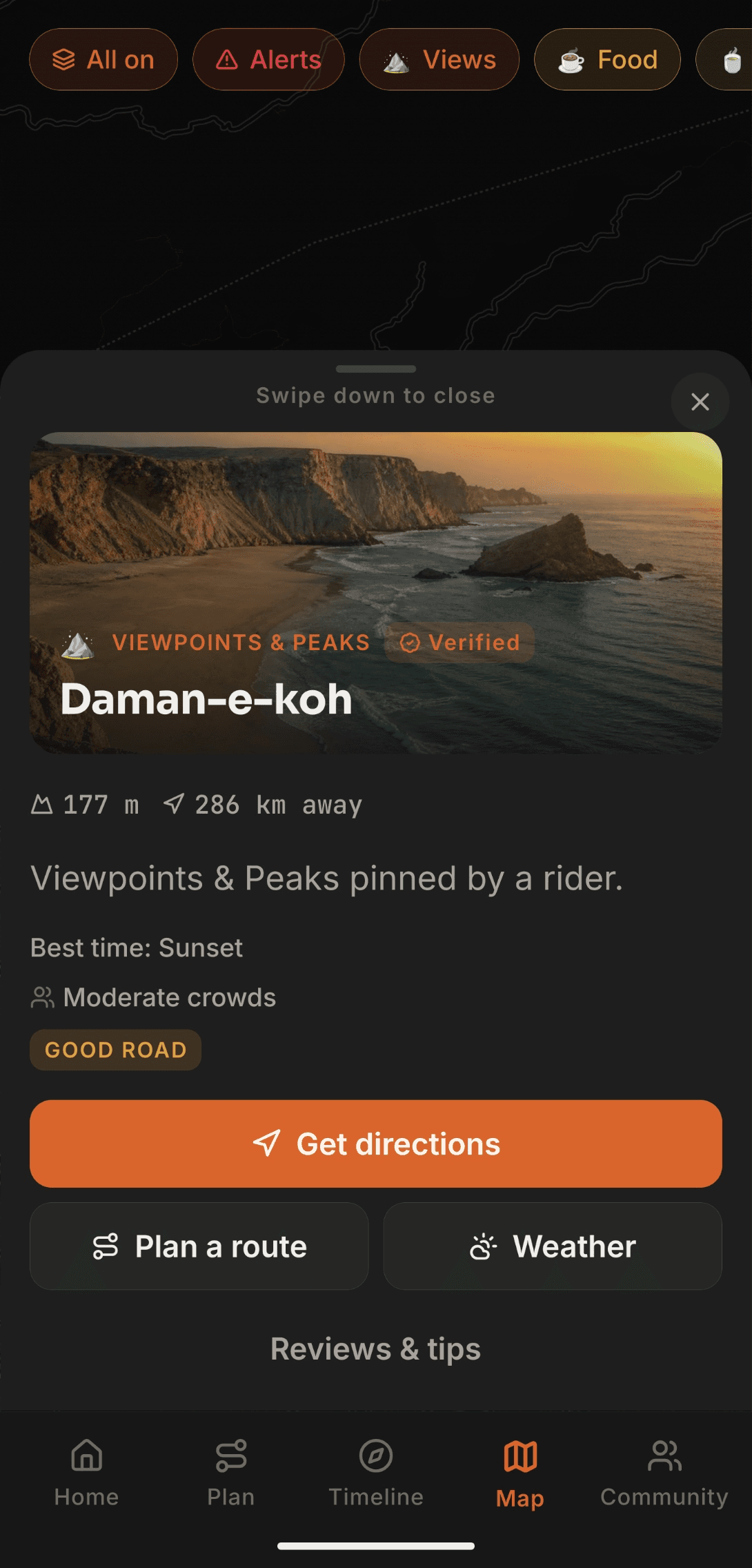
Verified stop detail with photo, elevation, road condition and directions

Know the pass before you climb it

Landslides, closures and snow, reported by whoever is ahead — and a ping if one hits a route you saved. 12 northern passes with rider reports. Road-risk weather, and today's OGRA petrol and diesel, sit on the home screen.

Home screen with ride-risk weather, Pakistan fuel prices and mountain pass status

Still there when the signal isn't

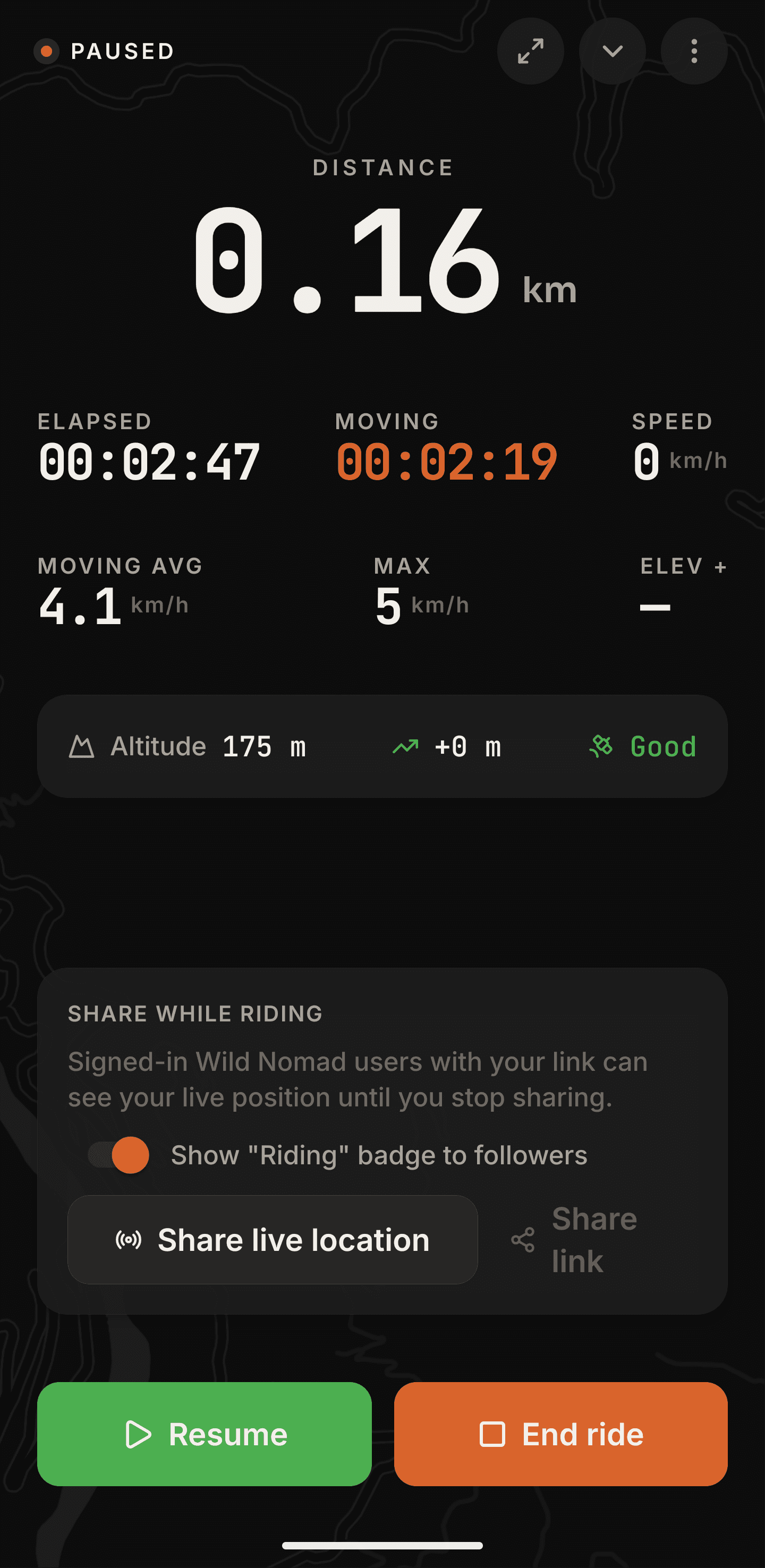
Download one of 7 regions. Stops, the route and emergency numbers stay with you past the last tower. Two-tap SOS over SMS and WhatsApp, with 1122, 15, 130 and 115 built in. Live GPS keeps the ride, and a link so someone knows where you are.
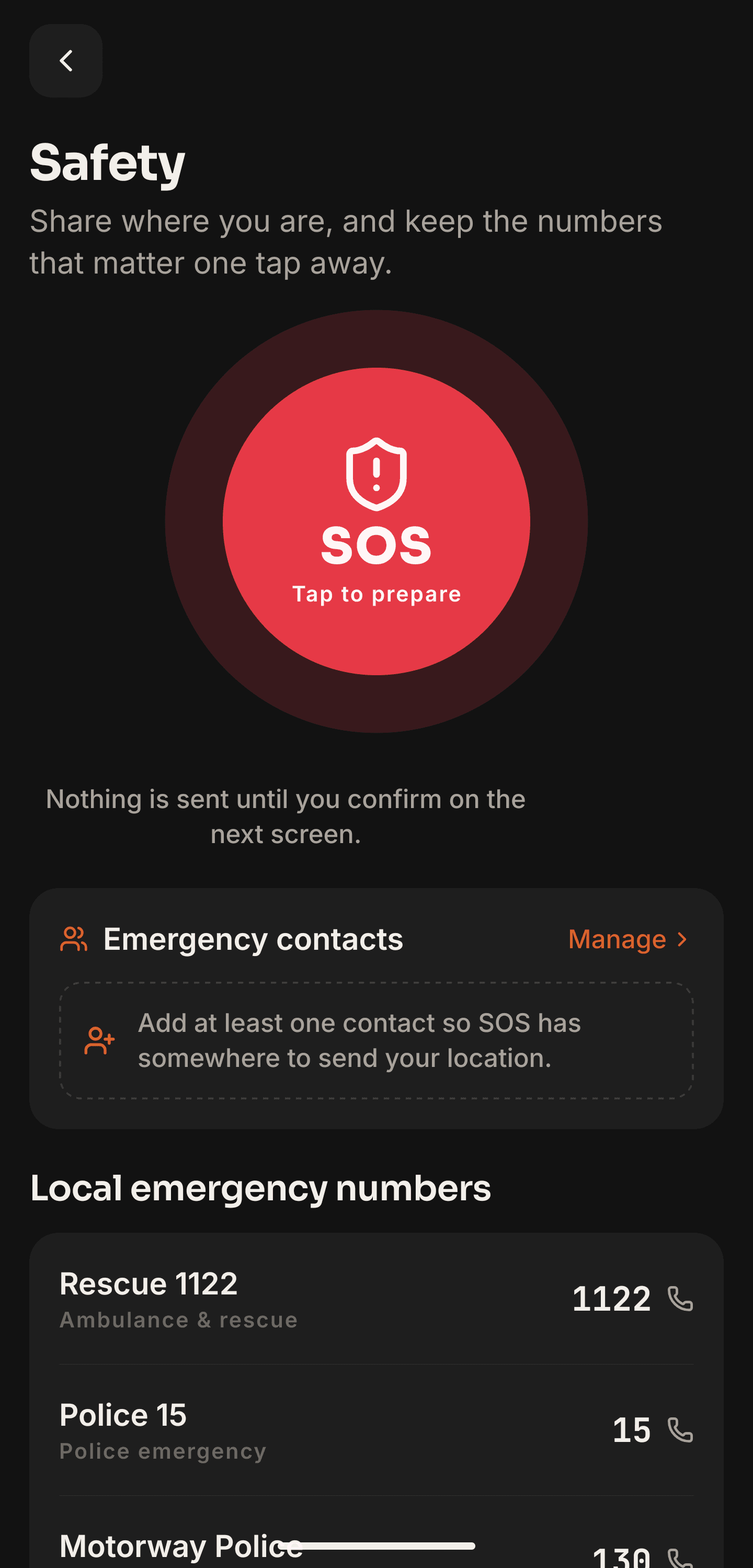
Safety screen with SOS button and Pakistan emergency numbers

Plan the day before you turn the key — bike or car, fuel cost, a packing list, and who paid for what. Then ride it with people who already know the road.

Viewpoints & PeaksDhabas & FoodCafes & Tea StopsCampsitesHotels & StaysGuest HousesFuel StationsMechanicsTyre ShopsHospitalsPharmaciesPolice CheckpointsATMsMosquesWater RefillWaterfallsLakesHiking TrailsWashroomsParkingHidden GemsAttractionsPolice stations

Live data

Pan the map. Open a stop.

Every stop below is real, pinned by riders and already in the app. Filter it, zoom it, tap one.

93 stops on this map · 7 offline packs in the app · Community submitted, admin verified

Live alerts, 12 mountain passes, and offline packs live in the Wild Nomad app.

Where the pins are

Coverage follows the riders.

Strongest through Hunza, Gilgit, Skardu, Kaghan, Chitral, Swat and the Galiyat, then Islamabad, Punjab and the Makran coast. Download a pack — Hunza & Skardu, Naran & Kaghan, Chitral, Murree, Punjab, Karachi or Makran — and the streets come with it.
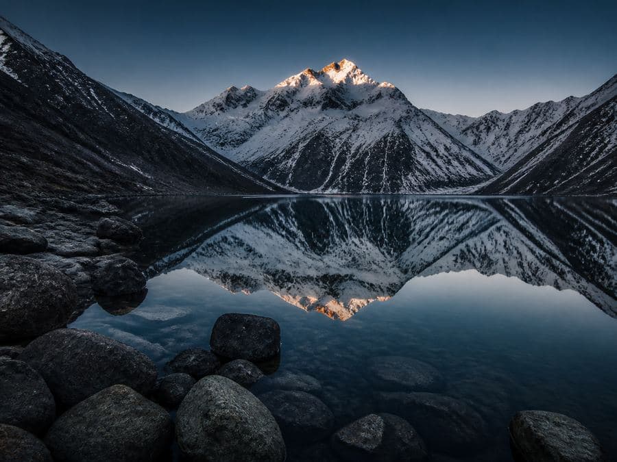
Kaghan

Naran and the road to Babusar
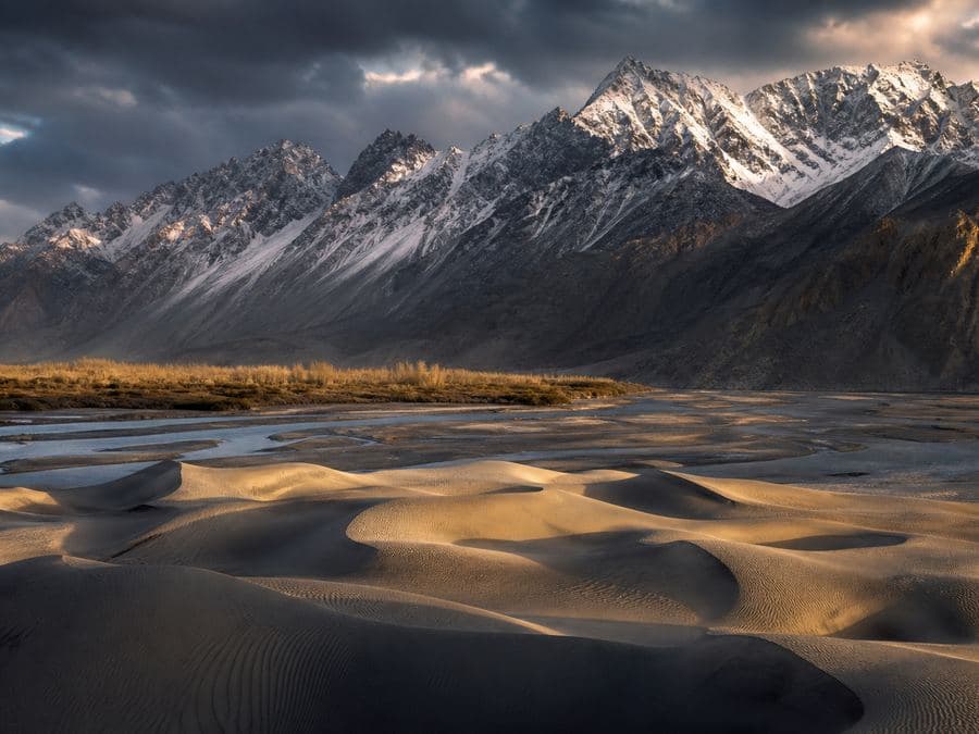
Skardu

The Baltistan road
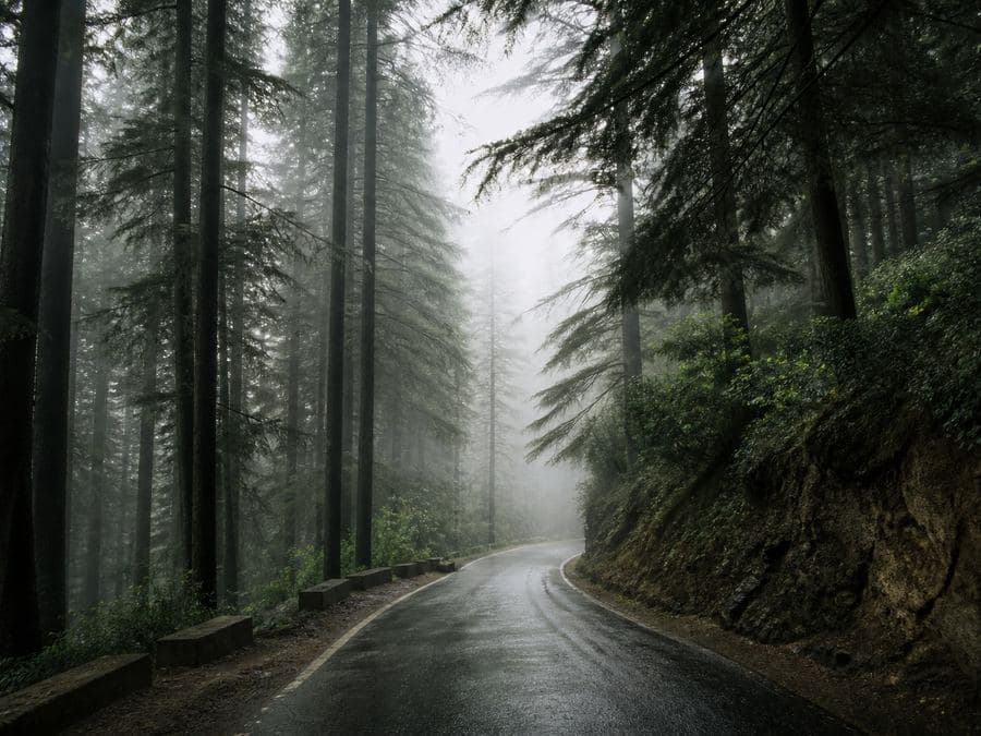
Galiyat

A weekend out of the city
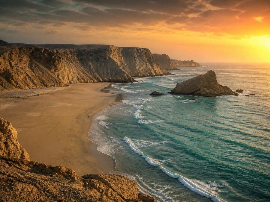
Makran

The coast, when the ride turns south
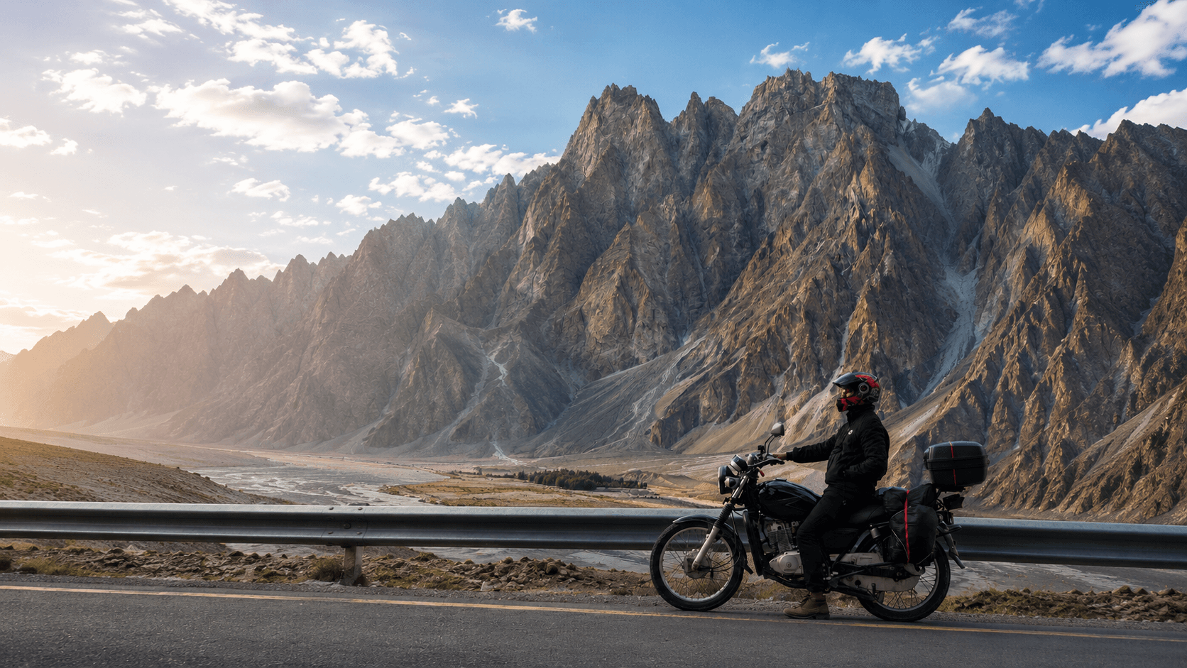
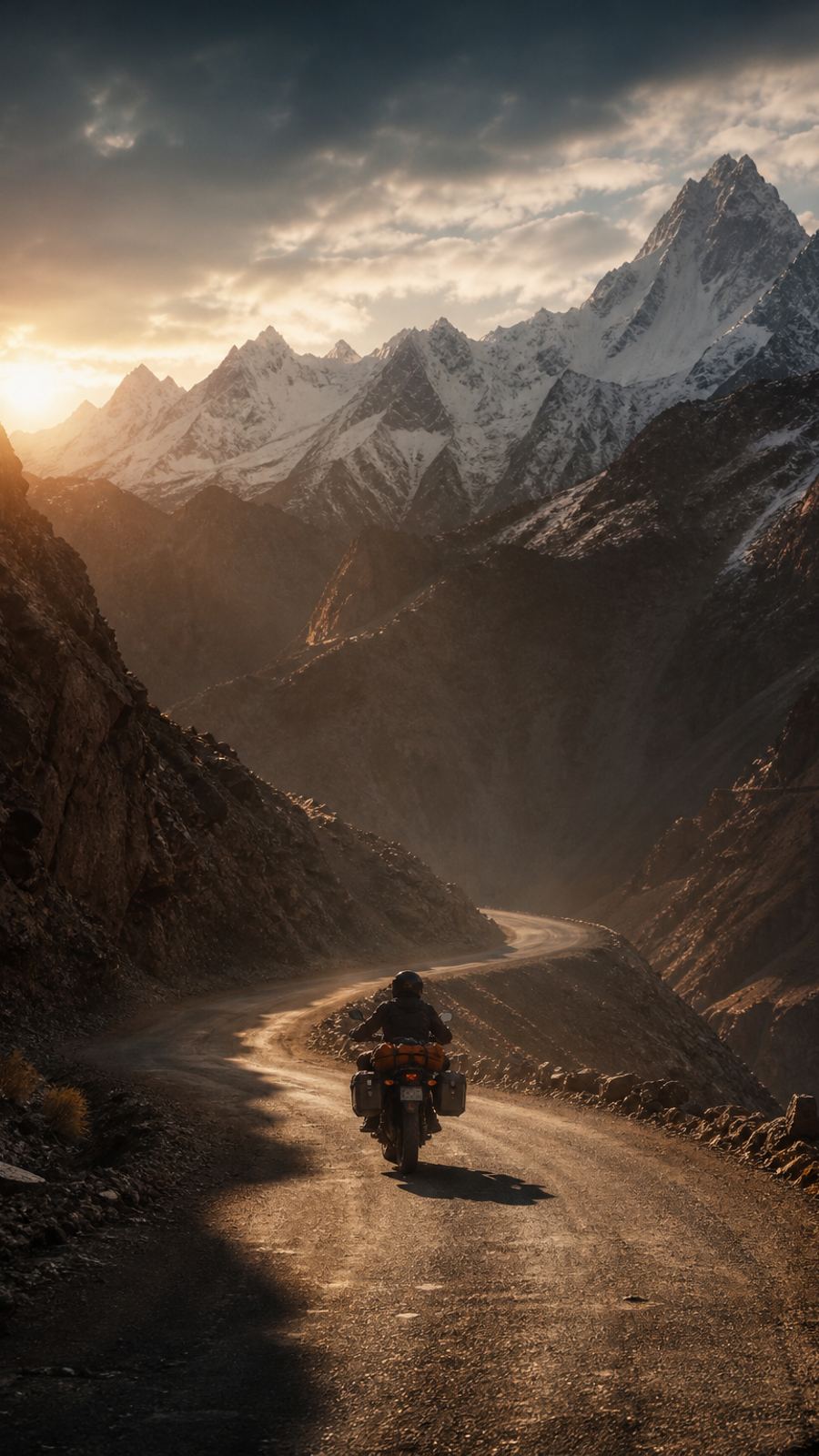
A motorcycle parked against the mountains on a northern Pakistan road

On Google Play

Take it on the ride.

I built this on these roads. The Android app is on the Play Store — download it before you leave the valley.

Get it on Google Play

Questions before you ride

Get it on your phone.

Get it on Google Play

Free on Android. iPhone follows.